Sich 1
Images from Ukraine's SICH-1 Oceanographic Satellite
Note: This satellite is no longer active
NOTE : Full-size images can be revealed by clicking on each individual thumbnail.
| March 11, 2000 | |
|---|---|
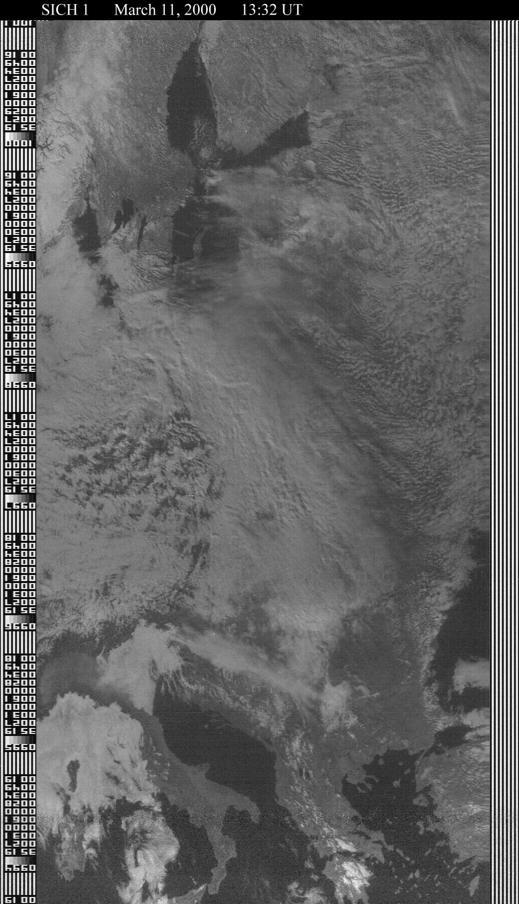 Following a long spell with very infrequent and poor quality images, SICH suddenly produced this superb offering, showing clear views of Italy and Greece, and stretching all the way northwards through Sweden, just showing part of the Gulf of Bothnia, still packed with sea-ice. Lasting fully 7 minutes 25 seconds, this is one of the longest SICH transmissions ever recorded. |
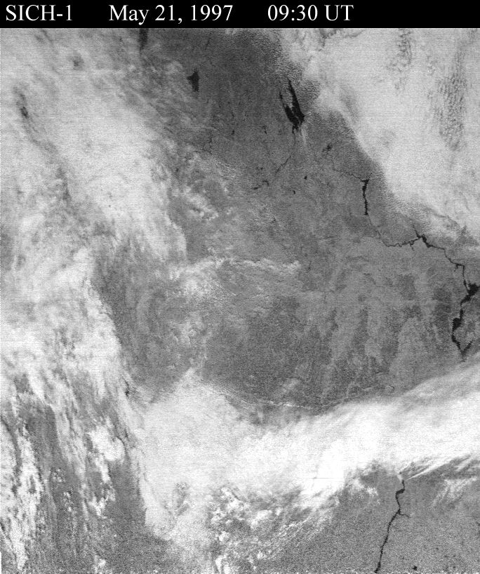
September 23, 1997 | August 22, 1997 |
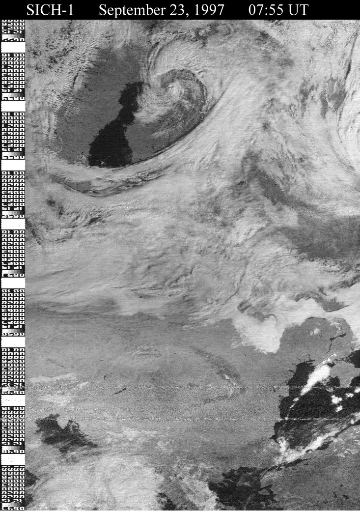 Despite some interference at extreme eastern range ( over the Black Sea ), excellent detail has been maintained throughout the spacecraft's flight over the Baltic Sea in this huge visible light image. The twisting range of the Carpathian Mountains shows well in central Europe, as does the Don River in Ukraine. Because SICH transmissions are so infrequent, this one was captured by an automatic tape system. |
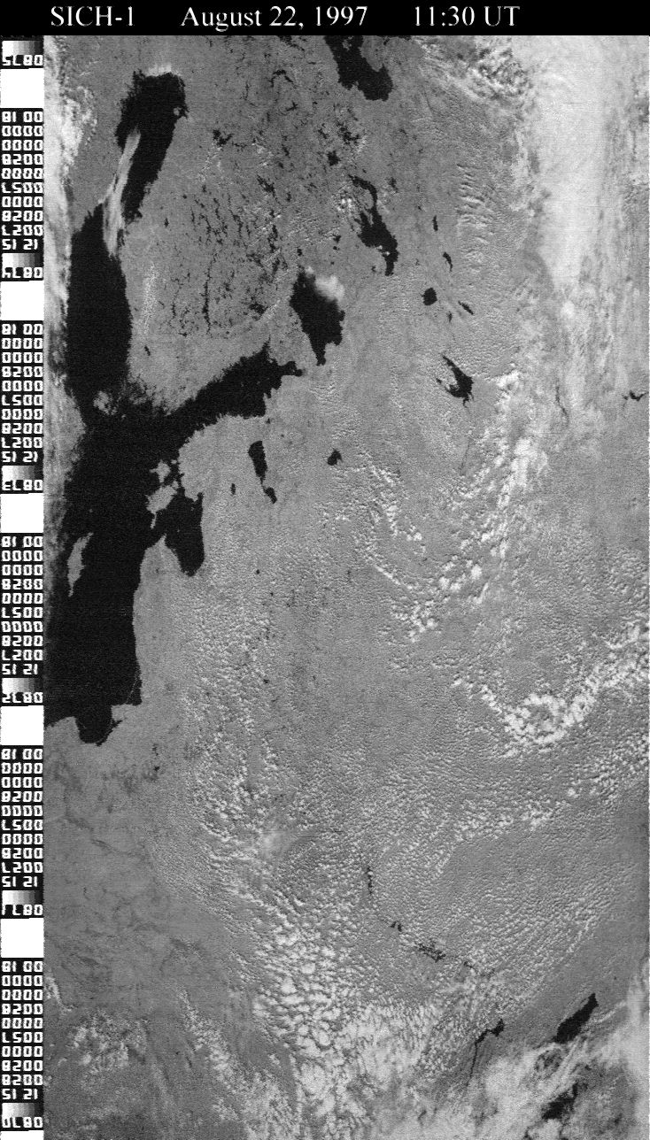 This is the best SICH-1 visible frame image I have ever captured. The image was transmitted from 11:30 UT and shows intricate detail of the myriad lakes in Finland and western Russia. A truly breath-taking picture ! |
May 28, 1998 | May 5, 1997 |
 A somewhat bland visible light image of Scandinavia. |
 This visible light image shows part of the course of the Volga River flowing from the Rybinsk Reservoir, eastwards then south on its way to the Caspian Sea. |
July 20, 1996 |
 This remarkable image from SICH-1 shows northern Australia. A full width visible image includes most of the Northern Territory, while part of the Cape York Peninsula shows on the extreme right. A narrow RADAR image of the left margin of the main image is superimposed over the Gulf or Carpentaria |
.July 21, 1996 | February 22, 1996 |
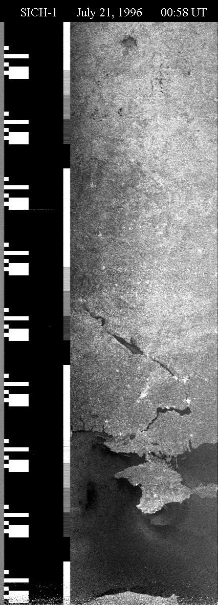 This image shows SICH transmitting full-width RADAR of rivers in Ukraine, and the Crimea Peninsula. |
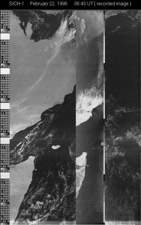 Sich carries an on-board tape recoding unit, and on ocasions used it to image distant areas of the Earth. These images were later downloaded when the satellite passed over Europe. Here is such an image, showing excellent detail of Saudia Arabia, Yemen and Oman, along with the Persian Gulf and part of the Gulf of Aden. |