Okean 01-7

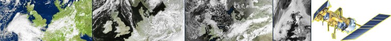
Images from Russia's OKEAN 1-7 Oceanographic Satellite

OKEAN-4 was an oceanographic weather satellite orbiting approximately 640 kilometres above the surface of the Earth, and which imaged the planet by means of visible light, microwave and RADAR sensors. Its unique imagery generally consisted of a visible image upon which were superimposed both a narrow swath RADAR and a thermal microwave image. Sometimes the visible image was absent, and the entire frame given over to much wider microwave + RADAR images.

Note: This satellite is no longer active

For details of Okean's instrumentation, which is identical with that of the Ukraine's SICH satellite, click here.

A selection of images from this satellite appears below.

NOTE : Full-size images can be revealed by clicking on each individual thumbnail.

October 19, 1999

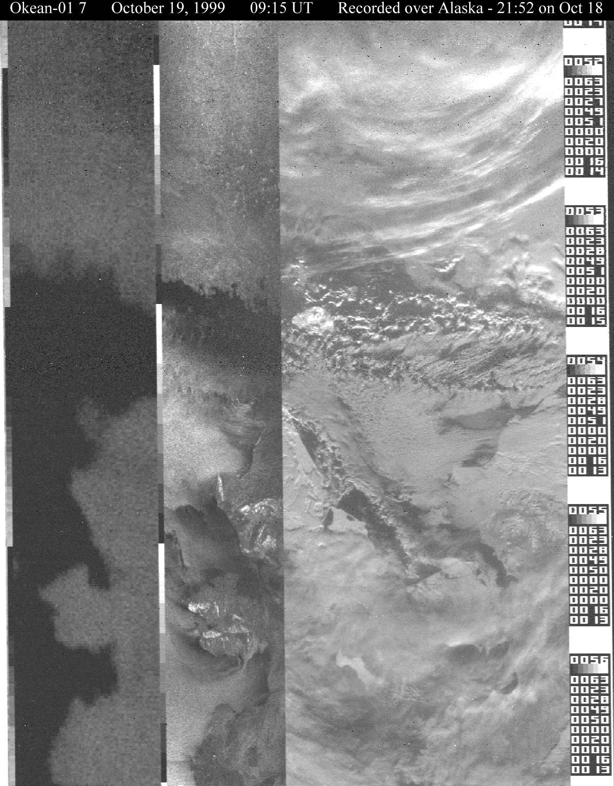
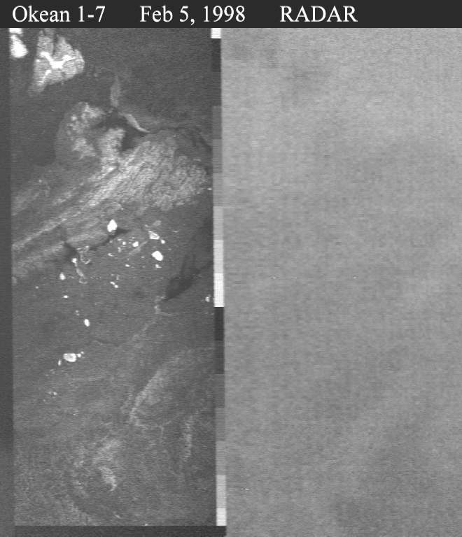
A recorded image taken while traversing the Bering Strait.
Alaska's Seward Peninsula shows clearly in the microwave and RADAR frames.
Okean-01 7 - October 1, 1999 Okean-01 7 - September 30, 1999
Today, a 'live' transmission
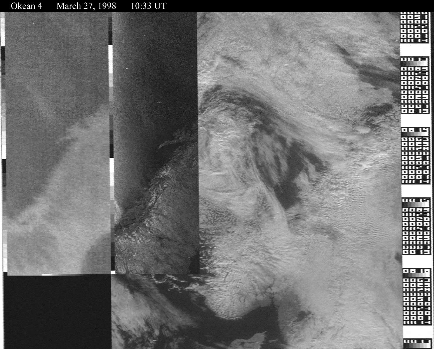
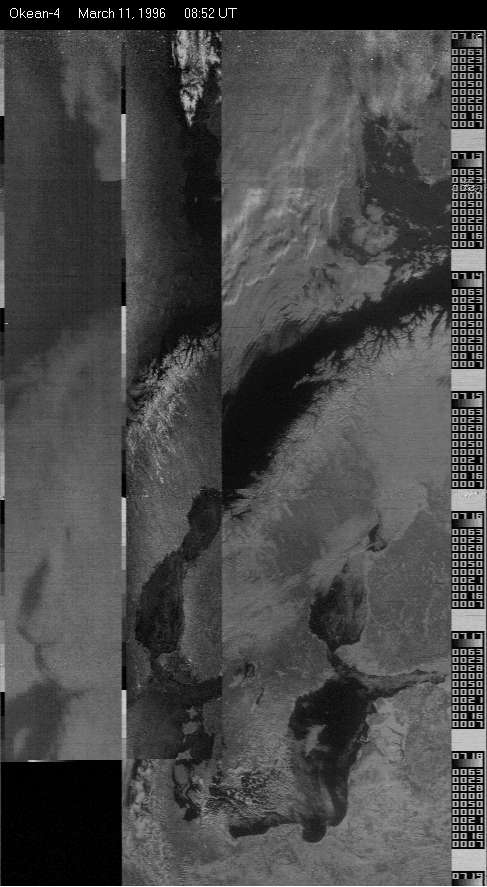
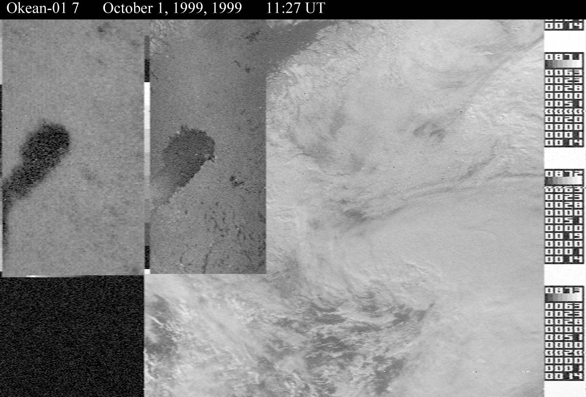
over Norway and Finland


A recorded transmission
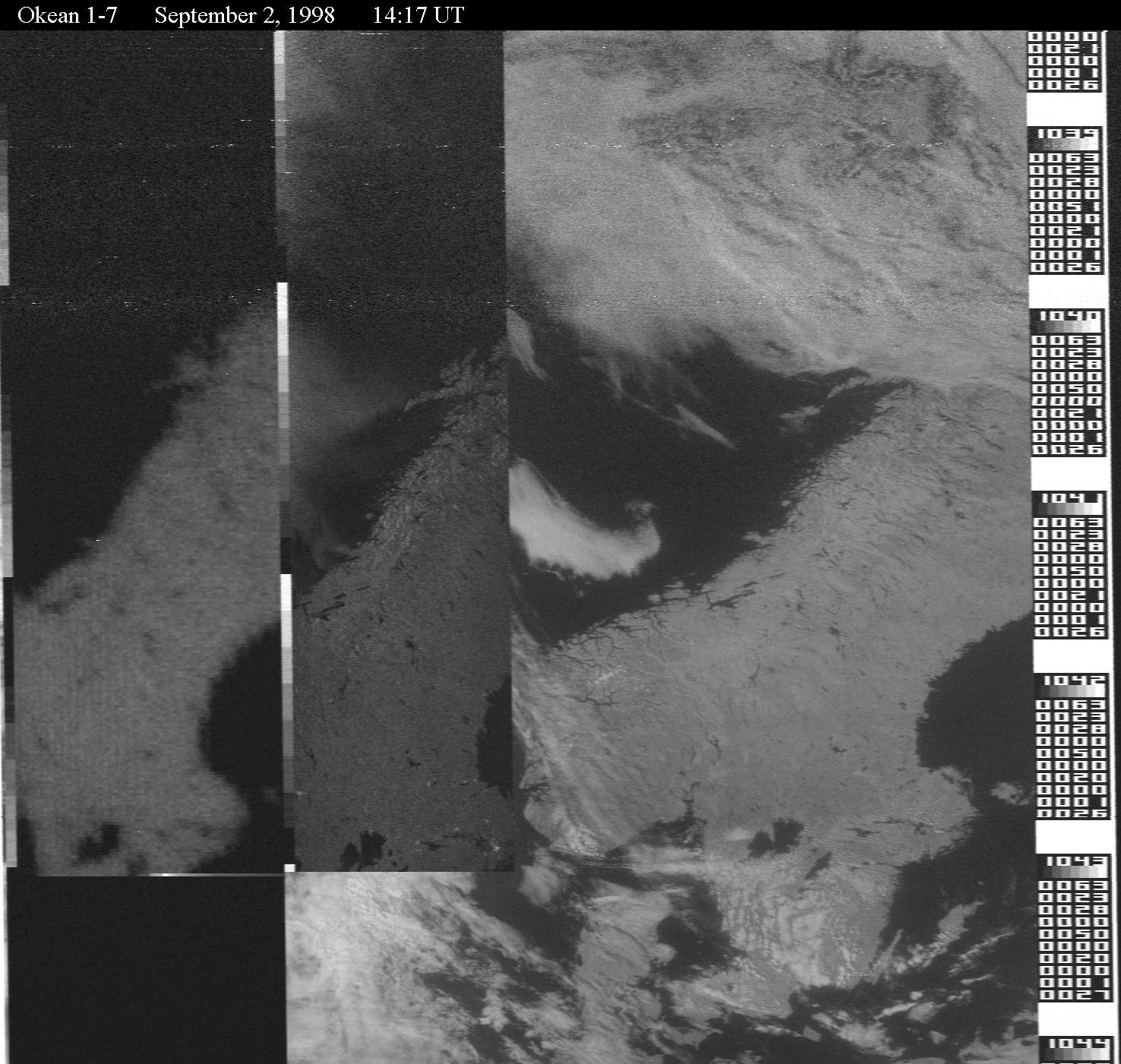
taken over the East Siberian Sea


September 9, 1999

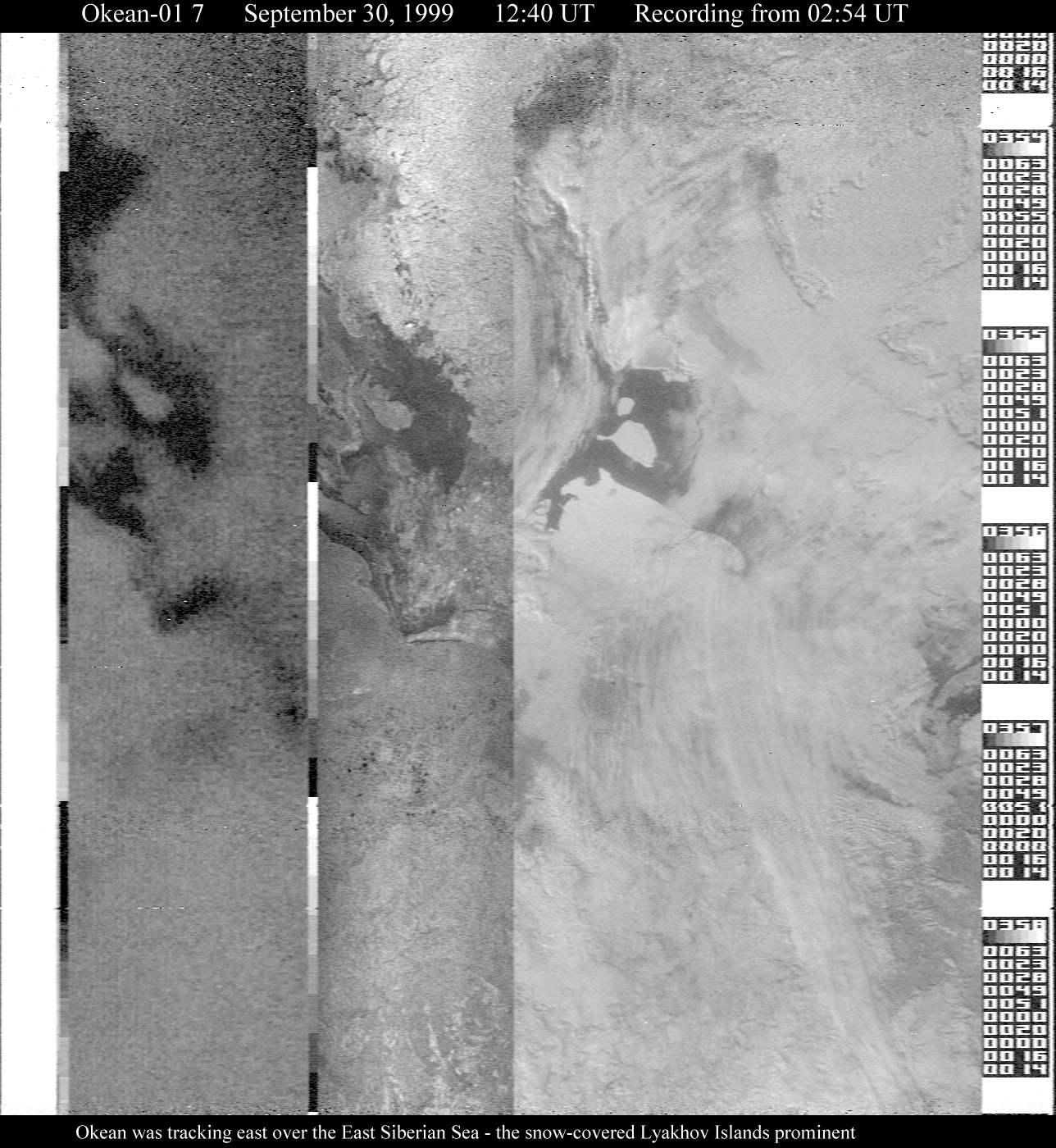
A recorded image taken while traversing the Arctic coastline of Eastern Siberia.
September 2, 1998

Microwave/RADAR/visible images
July 31, 1998

Microwave/RADAR/visible images
March 27, 1998

Microwave/ RADAR/visible images
February 5, 1998

Twin RADAR/microwave image of Arctic
April 26, 1997

Ice in the Gulf of Bothnia
June 28, 1996

A rare image including part of Britain
March 11, 1996

Ice in the Gulf of Bothnia
March 9, 1996

Ice on the Russian Lakes
February 9, 1996

Large format RADAR/microwave images
August 7, 1995

Microwave/RADAR/visible image
December 12, 1994

Overnight microwave/RADAR/visible images
November 21, 1994

Microwave/RADAR twin image